|
|
| |
Manuel Antonio National Park
|
|
Size: 682 hectares.
Distance from San José: 132 kilometers.
Trails: Yes.
Dry season: December through March. |
 |
| |
|
 |
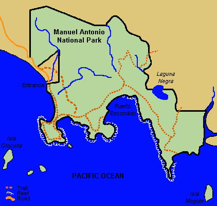
Manuel Antonio National Park, lying on the pacific coast 7 kilometers south of the town of Quepos between Damas and Matapalos, was created in 1972 at a time when the area was poised for massive tourism development, founded primarily by foreign interests. The land constituting the park had, by then, gone through several different foreign owners. Today, the park protects a beautiful remnant piece of the tropical forest that once covered a wide variety of marine life. |
| |
|
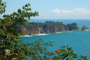
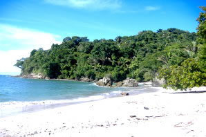
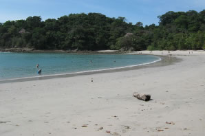
With one of the most stunning, picture-postcard backdrops in the country, this is one of the lushest places in Costa Rica, with spectacular white-grey sand beaches fringed by thickly forested green hills. There is a huge variety of things to do- walking the Park's easy trails, whitewater rafting, ocean cruising, horseback riding, fishing, sea kayaking, to name but a few. |
 |
| |
|
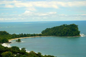 |
Manuel Antonio is one of Costa Rica's best known and most often visited park, despite the fact that it's also the smallest. The park is an island of verdant wildness in a rapidly developing area with a relatively intact wet tropical forest and abundant wildlife. |
| |
|
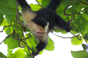
This park has a remarkably long list of species inhabiting it: brown pelicans, brown boobies, tyrant hawk-eagles, gray-headed chachalacas, solater's ant bird, coatimundis, two and three toed sloths, toed anteaters, ocelots amongst others. |
 |
| |
|
|
| |
| Map of Costa Rica and its National Parks |
| |
|
|